Geographical Information Systems
Digital Mapping / Geographical Information Systems (GIS)
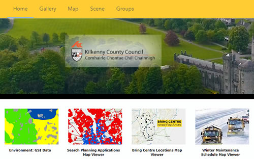
Our Map Portal containing all digital interactive mapping viewers: https://kilkennycoco.maps.arcgis.com/home/index.html
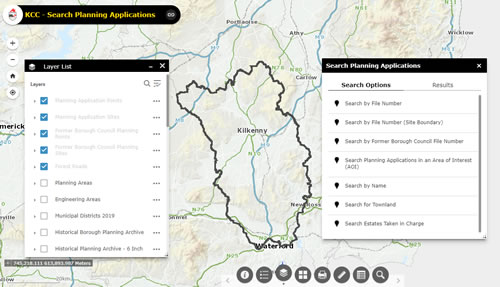
Planning Viewer
Our dedicated planning viewer where you can search planning applications and other planning related datasets https://planning.kilkennycoco.ie/mapviewer
For all GIS queries contact 0567794032 or email gisqueries@kilkennycoco.ie
All Digital Mapping Applications use Tailte Eireann map data. This data is licensed to Kilkenny Local Authorities under "CYAL50510769 © Tailte Éireann – Surveying”. The data is protected under copyright and must not be copied from the Internet mapping platform in which it is delivered.

 Kilkenny County Council


